Showing posts with label New Hampshire. Show all posts

Black Mountain Ski Trail Adventure

In our continued quest for hikes with a view and modest effort, we discovered another Jackson gem in the Black Mountain Ski Trail.  Once again, we took Carter Notch Road up and followed the signs for Black Mountain.  After parking Horace the Honda, we easily found the trailhead.

Trailhead 

A short hike up the road and we came upon a elderly gent clearing some wood. Turns out he lives right on the boundary of the trail.  He said he was 86-years-old and skis about 50 days a year.  Whatever they drink in the water in New Hampshire, I want some!


Road to the trail

This is another woods trail that heads straight up the mountain.  Easy on the feet, but not so much on the lungs.  It doesn't get really steep unit the top and even then, the ground is secure.  It is a 1.4 mile trail with elevation gain of about 1,200 feet.  

Start the hoof up
It was a little muddy, but not too bad.  All in all I think it took us about 45 minutes to sweatily scurry up.  

Woodland trail
From the distance, I could see the top of the cabin that was built by the Civilian Conservation Corps in the 1930s (thanks FDR).  It was renovated in 1992 and is very rustic (no electricity and an outside toilet).  But it's only around $20 a night, sleeps 8, and offers a great view of Mount Washington. 

Cabin ho!

We met Alex at the top, who had been staying at the cabin for a few days.  He also stayed at the South Doublehead cabin.  We had lunch and chatted with him and another lovely couple we met from Connecticut for a bit before climbing the additional 0.4 miles to the summit.


Rustic cabin

The Fat Man took these Sepia photos, which really capture the beauty of the cabin.  There's a small wood stove, which Alex said kept him warm.  I might have been game for staying there one night until he mentioned that mice scurry about all night long.  I frown upon free-ranging rodents around my pillow.

Needs a woman's touch

In my opinion, a coat of fresh white paint, decorative glassware, and some hooked rugs could really turn this place into something cozy.  But I think I'll stick with the less rustic AMC huts and comfort-laden bed and breakfasts.  Of course, the Fat Man would love to sleep here.  Alone.

Kitchen area

Pack off break

When the cloud cover moved off, you could actually see the weather station atop Mount Washington.  Alex said he had a telescope and could see cars driving up the auto road.  

The big W: Mount Washington

We packed up and continued up the mountain to the summit.  It was a short, but steep post-lunch climb.  Kind of wished we'd waited to eat at the top as my body was lobbying for a nap.

On to the summit

The view was not as open as at the cabin, but if you stood on a rock, you could see the mountains in the distance.  

Summit view


From the summit, we took a loop trail that brings you back around to the cabin (to the right).  I don't know where the Badland trail leads, but the name alone was enough to dissuade me from taking it.  Some adjectives about bad from the dictionary: wicked or evil character; poor or inferior quality; causing or liable to cause sickness or bad health.  Give me a Goodland trail and I'll take it.


Side loop trail
After the hike, we had a wonderful dinner at the Ledges restaurant at the White Mountain Hotel and Resort.  The Fat Man had scallops and lobster in a delicious pastry puff and I had the gluten-free sesame encrusted ahi tuna (rare).  We both also indulged in a dessert of hot fudge sundaes.  Yum.

Heidi's rating: ★★★ Good work out and a cool place to have lunch.
The Fat Man's rating: 1 pack of black cherry Blox and 2 Snicker's bars.

Picnic at Hall's Ledge

Yesterday the Fat Man and I took a break from cliff climbing to check out a little trail in Jackson, New Hampshire called Hall's Ledge.  We saw a 2011 article in the White Mountain Shopper by John Comptom, which described this little gem of a trail. 

You can start from the bottom on Route 16, but the Fat Man thought we could shave off some of the elevation by picking up the trail off Carter Notch Road. We parked our car at the end of the road in a small parking area, then walked back on the road and up to the right.  

Starting up the road
It was a wide road with a gentle incline. As soon as you pass the Orchard Trail on your left, take the next trail, which takes you to the Hall's Ledge trailhead.  There's a sign that says Wildcat Valley. Also look for the sign below. 


Take this trail off the road
We weren't sure it was the right trailhead so we walked on the road about a 1/2 mile further than we needed to and had to double back.  But it afforded us some extra mileage and a lovely view.

Pretty view from the road
The leaves are starting to change here and it's really quite magnificent.

Fall colors
We nicknamed this the "poop road and trail" because all day long we came across poops of various sizes and colors.  

Got poop?
We also found some moose tracks and were hopeful we might see one of these amazing beasts.  But it was not to be.  

Moose tracks
It was a pretty deserted trail and I thought we might see a bear or two.  Normally we don't worry about bears, but we just heard about a black bear that killed a Rutger's University student at a place we often hike.  Unfortunately, this boy was inexperienced and didn't know that running is the worst thing you can do.  Back away slowly and do not make eye contact.  If you have sticks, wave them in the air to make yourself look bigger.  Never play dead (that only works with Grizzly Bears).  

More of the trail
The trail meandered up for a while in the woods until we reached a spot that afforded us some unbelievable mountain views.


Gorgeous scenery
The picture above almost looks like a painting.  The light was just right to pick up all the beautiful colors and the mountains in the distance (this view was actually much better than Hall's Ledge itself).  


The trail was filled with all kinds of greenery, including ferns.  A little ways on the trail we passed a giant rock that had a memorial plate.  Apparently, 500 acres of the Wildcat Reservation were donated in the memory of Charles Morrill Baker.  


We don't know the exact mileage, but after a ways, we finally found this sign directing us Hall's Ledge.  It might have been around 1.5 miles.


We had read about the picnic table in the middle of nowhere and it was a lovely spot to stop and have lunch.  "Any trail that has a picnic table at the summit is okay in my book," said the Fat Man.  Unfortunately, the view of Mount Washington was a bit obscured by overgrown trees, but it was still a very pretty place to sit for a bit.


The Fat Man deemed the hike "whoopee-pie worthee" and polished off the second half of his dessert from Portland Maine.  I had some healthier apple slices.  


There really wasn't any ledge to speak of.  Later, we met an elderly couple who said the ledge exists, but not too many folks have ever seen it.  Sounds like a New Hampshire myth, if you ask me.

On the way back, The Fat Man snapped this picture of me gazing out over the mountainside.  I wish I'd sucked my gut in just a little bit more.  But those torturous step aerobics classes seem to be paying off.  


Later I almost stepped on this enormous toad.  He was very slow moving.  


Hall's Ledge definitely ranks as one of those trails that offer a great view for modest effort.  


Heidi's rating: ★★★★ Gorgeous mountain views.
The Fat Man's rating: 4 and 1/2 Reese's peanut butter cups.

Canoodling at Champney Falls


Today is our last day in New Hampshire so the Fat Man and I wanted a trail that didn’t involve a long car ride from Madison.  We chose the Champney Falls Trail, which is off of the Kancamagus Highway in Albany, NH (10 miles west of Conway).

We took the loop trail, which from start to finish is 3.5 miles.  

Trailhead

The early part of the trail

The trail is well marked with yellow blazes.  The terrain varies along the way.


Follow the yellow blazes
Rocky spots
Like so many other New Hampshire trails, the bridge was wiped out by heavy rain from storms like Irene.
You have to cross the stream

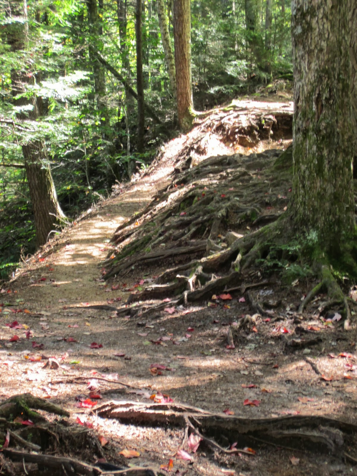
Parts of the trail had exposed roots.  They aren’t so bad going up, but you have to watch for ankle twists on the way down.


Exposed tree roots

The total elevation is 600 feet.  The first 45 minutes were a gradual ascent.  I felt like a gazelle going up.  The Fat Man was well behind me (but he had some snickerdoodle cookies the night before, which can slow you down).  I am trying my best to avoid processed foods with sugar. 

You can do it Fat Man!
We passed this big boulder on the way up, as well a cool tree that has grown over a rock.


When we got to the sign for the falls, we went left.  I don’t like heights so I was glad we took this route.  I find it is much easier going up when I don’t have to look down. 

We went left here
 We stopped at the lower falls for lunch.  The view was stupendous.


View from the lower falls

We then climbed up the rocks and rock stairs to the top of the falls.  It was steep and a little wet, which is why it carries a moderate rating. 

Boulders to scale
Steps going up
More steps to climb
View from on high


The path down had a ledge and narrow area that made me a little uncomfortable (I really wish I didn't have acrophobia).  But as I like to say, “there is no shame in shimmying.”  I just sat down on my haunches and slid my way down.


All in all it was a lovely trail and a great way to end a wonderful vacation.  Our goal is to continue hiking and get into better shape to continue on this trail to Mount Chocorua.

Heidi’s rating:  ★★★ only because I don’t like steep areas
The Fat Man’s rating: 2 packs of Peanut Butter Tandytakes (the original spelling) and a glass of milk

Climbing to the Big M (Mahoosuc Notch)


The Fat Man’s bucket list includes climbing Mahoosuc Notch in Maine, which many declare is the “toughest mile” on the Appalachian Trail. 

Getting there is half the battle because it is tricky to find.  We took 16 North from Conway to the 16 Truck at Berlin.  You cross over the Androscoggin River and veer right onto Success Pond Road.

Success Pond Road
This is a logging road that is very bumpy and isolated so make sure that your tires and car are in good shape because there was no cell phone service.  

Logs on Success Pond Road

Zero your odometer at the start and drive approximately 11 miles.  You will pass numerous brooks and several other trailheads.  Early on the road we saw a moose, but by the time I got my camera out, it was gone. 

The Fat Man was concerned about the stability of the two wooden bridges so we opted to park by the big stones and walk across them.


One of two old bridges


We parked here
We entered the Notch Trail, which is a 2.2-mile woods trail (2.5 miles one way from Success Pond Road). 
Notch Trailhead
Start of the trail
You will see an occasional blue blaze, but the trail is not well marked.  


We had to cross the stream back and forth several times, which I would have missed.  

Streams on the Notch trail


Fortunately the Fat Man is excellent at staying on the right path.

The trail also includes multiple “balance beam” bog boards, but at times you cannot avoid the “pudding” (wet mud). 


Look for interesting fungi along the way.


The fall colors were beautiful.  The leaves looked like road poppies.


It is really a “Lucky Charms” trail because with all the green moss you expect to see gnomes or elves.


We also saw moose dung and moose prints, but unfortunately no moose.  But we did hear some angry red squirrels.

Watch out for moose poop!
Moose footprint
The trail gently ascended, but the Fat Man warned me that we would have a significant ascent at some point (elevation is around 2,460 feet).  When we reached the intersection with the Appalachian Trail, we were surprised that we actually had to hike down to Mahoosuc Notch.

Trail intersection
As expected, there were giant boulders, caverns, and caves. 

Mahoosuc Notch

We climbed a little bit to a flat place to have lunch.  The rocks were cold and damp and the air was about 10 degrees colder than on the trail.

Lunch spot
The Fat Man was ecstatic just to see the Notch.  He will come back again with his hiking buddies to climb it completely.


I don’t like heights and there is little margin for error on the Notch, especially across boulders that are moss-covered and slippery.  They look small in pictures, but are quite massive with large spaces in between. 

The night before our hike I started listening to a self-hypnosis tape to overcome my acrophobia, but I will need about 6 months of listening to it before I attempt Mahoosuc Notch.

Heidi’s rating: ★★★★ Loved listening to the stream on most of the trail and the beautiful green moss
The Fat Man’s rating: 2 peanut butter and jelly sandwiches

Postscript: A little less than a year later, the Fat Man and 5 friends attempted the Notch after some rain.  Three never made it at all (one had angina and his sister kept him company; the other was too exhausted just getting there).  The skinniest and most athletic couple abandoned the trail midway.  The Fat Man got about 100 feet, but slipped and fell about 4 feet (I warned him that the Notch must be bone dry)!  His head wounds were deep enough that it required a trip to the hospital and glue stitching.  Undaunted, he vows to return (with new grippy shoes) to reclaim his soul.  

Ouch! One of the Fat Man's two gaping holes.