 |
Parking area
Like many of the hikes here, you need to either buy a day pass or a weekly pass. Most places you can purchase them right in the parking lot.
|
 |
| UNH Trailhead |
The glide (the guidebook that lies) is correct about only taking this trail when the weather is good and dry. It had rained the night before and there were some slippery sections, but fortunately they were low on the mountain.
 |
| Beginning of the trail |
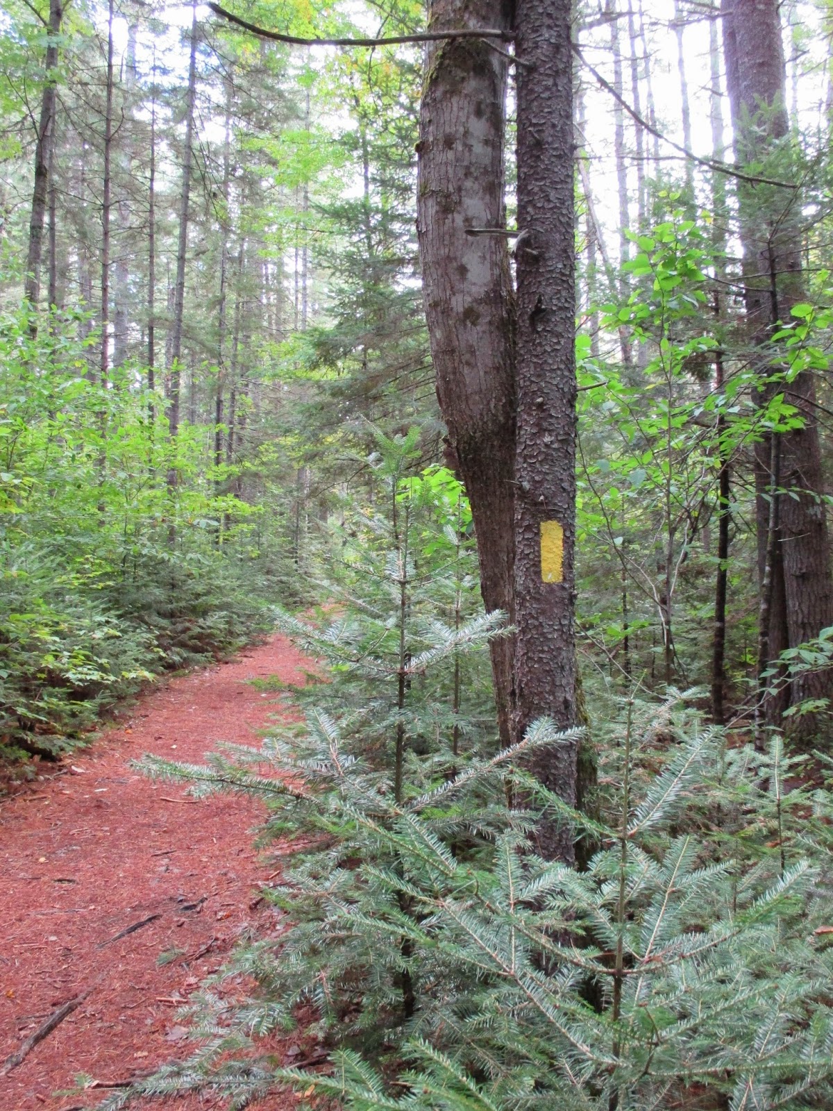
Like most trails here, it starts off very nice and pleasant. Of course, that changes pretty quickly.
 |
| Starts out flat |
When we got to the cross country ski trail intersection, we were informed that there would be a reroute of the trail at some point. We followed the yellow-blaze trail.
 |
| There was a reroute of the trail |
There were some sections, both low and high, that were predominantly filled with exposed tree roots.
 |
| Lots of tree roots for ankle twists |
Most guidebooks suggest hiking the trail clockwise. This gets you to the ledges faster and you hike the majority of the trail going up what is termed a "gradual ascent."
Since I really don't like heights, we decided to hike up the steepest part (counterclockwise). I prefer not to look down when it's really steep. Coming down also hurts our knees more the going up, so we thought it would be a better route for us.
 |
| We went counterclockwise |
As promised, it was pretty steep. But since we've been hiking all week with similar elevation gains, it wasn't any more strenuous than usual. In some parts, there are some rock slabs, which were not too difficult to walk up.
 |
| Slabs on the way up |
There is no view from the summit because it is completely enclosed by trees. But keep going and you will reach Allen's ledge, which affords some beautiful views.
 |
| View from Allen's ledge past the summit |
We stopped here for lunch and it was magnificent. It was quite windy and cool, but after all that climbing (and sweating), it felt delightful.
 |
| Fantastic views |
We met some people coming up the trail clockwise. They said it was fairly steep that way too, and mentioned one section with a big drop off. I wasn't sure what to expect, but it definitely gave me pause since I was already feeling a little squarely.
 |
| From Allen's ledge |
 |
| Gorgeous day |
After resting, we continued down the trail, which winds around the mountain.
 |
| Coming down from Allen's ledge |
The trail wasn't as well marked and I thought we had taken a wrong turn, but the Fat Man assured me we'd pick up a blaze eventually and we did. The section that is not well marked takes you back uphill for a bit.
 |
| Looking up from the East Ledges |
After about 45 minutes, we reached the East Ledges, and the views were equally as fantastic.
 |
Whoopee pie for the Fat Man
We stopped to take in the view, and the Fat Man ate half of the whoopee pie he purchased on our recent excursion to LL Bean in Portland, Maine. I have to admit, it looked really good.
|
 |
| More ledges to traverse down |
We went down some more ledges and one area was a little close to the edge, so I assumed it was the spot we had been warned about.
I really don't mind ledges when they are wide and open. But then we came to a section that got really, really narrow with a complete drop off.
 |
| Ledge narrows on a cliff (view of Mount Potash) |
They say pictures add 10 pounds, and in this case, it adds width because it was much narrower than it looks. If you do not like heights, you will not like this section.
I got through it, but didn't like it, and had to do some deep breathing afterward. I was glad we got to it late in the hike. I'm not sure I would have continued if we took the clockwise route.
If I were to do it again, I would have walked through the trees. I'd get cut up, for sure, but would avoid getting close to the big drop off.
 |
| Looks wider than it really is |
Up until that point, the ledges were very wide and easily navigated and the views were stupendous.
 |
| Coming onto a ledge |
 |
| More beautiful views |
We still had about 2 miles or so to go and the trail was not as flat as we'd been led to believe. Hiking up the steep section was a real workout and coming down was more of a conditioning hike. If we went clockwise, I think it would have been much slower coming down the steep section.
 |
| Mount Chocorua in the distance |
We passed some big boulders, which felt a little Stonehenge-like.
 |
| Rock formation on the descent |
The Fat Man twisted his ankle coming down. He said he had to take a standing 8-count. I came close to twisting mine, too, due to all the exposed tree roots. We think the re-route added another 1/2 mile, so in total it was probably close to 5 miles. It took us about 4.5 hours.
We weren't completely toasted by the end of the hike, but we were glad to reach the car. Once rigor mortis, settled in, it was painful getting up from a seated position. If only the house we rented had a hot tub!
Heidis rating: ★★ for the spectacular views (would have been higher if there was no steep drop-off cliff section).
The Fat Man's rating: One and a half whoopee pies.


No comments:
Post a Comment